
Delhi Township ZIP Code Coverage
The research identifies two locally evidenced service ZIP codes for Delhi Township: 45233 and 45238. That finding comes from official facility addresses and county mapping, not from a claim that either entire ZIP belongs to the township. The Postal Service assigns ZIP codes for delivery routing. A ZIP does not establish a municipal line, voter precinct, school district, parcel boundary, or present residence. Use the USPS ZIP Lookup with the complete delivery address whenever an individual address matters.
| Delhi ZIP code | Documented local anchor | Postal identity | Research caution |
|---|---|---|---|
| 45233 | Part of Delhi Township; Police Headquarters at 934 Neeb Road uses it | Cincinnati postal identity | Verify each address through USPS; it does not define the township |
| 45238 | Part of Delhi Township; Administration and Delhi Branch Library use it | Cincinnati postal identity | The service area reaches beyond one local-government label |
The documented route is deliberately address-specific. USPS uses a full address to return delivery information, while the local research found no public township-wide complete ZIP inventory. Treat 45233 and 45238 as starting anchors, then verify the address and jurisdiction before matching it with an Auditor parcel, a Recorder document, or an election record.
Delhi Township ZIP Code Geography
Delhi Township is an unincorporated township in south-central Hamilton County along the Ohio River. It is not the county seat, and it should not be confused with a City of Delhi. Its governmental and postal names can differ. Cincinnati often appears as the postal city, but that postal convention does not change the township's governing jurisdiction. The same location can be described through a township, county parcel, postal city, subdivision, or historic place name. Each label belongs to a different record system.
The U.S. Census Bureau profile for Delhi Township is shown below.
A Census geography profile describes the township as a statistical area. It does not convert a ZIP area into a township line or identify a person at an address.
Delhi history also distinguishes South Bend, founded in 1789, from Delhi Township, founded in 1816. Search those place names with their periods in mind when a historic address, map, or directory predates a modern postal format.
Delhi Township ZIP Code Verification
For one address, begin with the official USPS address-based ZIP Lookup. Enter the full delivery address and use the returned ZIP and postal city as delivery information. Do not reverse the process by assuming an address is inside Delhi Township because it has a Cincinnati postal name or because it falls within 45233 or 45238. A postal ZIP can cross local-government boundaries, and the same ZIP can cover addresses with different parcel, zoning, or election geography.
After USPS confirms delivery format, check the government source for the question at hand. Use the Auditor for parcel and situs context, not a ZIP-first resident search. Use the Recorder's legal-description or Auditor-number routes for recorded documents. Use the Board of Elections only for its exact registration fields. If the question concerns zoning, Delhi's unincorporated-area maps and CAGIS provide context, but the live CAGIS controls were not documented in the research and should not be assumed.
Note: A valid delivery ZIP confirms postal routing for an address, not township status, ownership, household membership, or a legal boundary.
Delhi Township ZIP Code Portal Fields
Local portals do not use ZIP codes in the same way. The Auditor wEdge system documents owner or organization, street address, parcel, sales, and advanced property filters, but no ZIP filter. Recorder Acclaim documents name, date, document type, book or page, document number, subdivision or lot, section, town, range, and Auditor number, but no ZIP filter. CAGIS is a map and parcel-context viewer, although the captured research does not establish its live filter controls. The safest approach is to use each system's documented key.
| USPS lookup | Uses a complete delivery address to verify postal ZIP information. |
|---|---|
| Auditor wEdge | No ZIP field documented; use street address, parcel, owner or advanced property fields. |
| Recorder Acclaim | No ZIP field documented; use Auditor number, parcel-related references, legal description, party, date, or document fields. |
| BOE registration check | Requires first name, last name, street number, street name, street suffix, and a valid ZIP. |
| BOE list export | Documented full-county, district, or precinct choices, not a ZIP filter. |
| Ohio DRC | Accepts optional ZIP only as an agency-status filter, not an address directory. |
The Delhi Township programs and services page is pictured below.
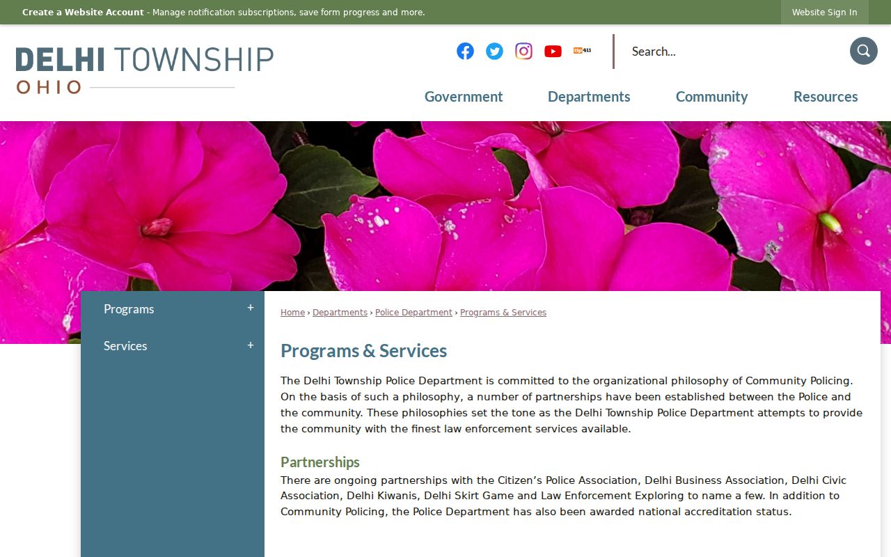
Programs and services identify official community resources. They do not create a ZIP-keyed resident list or establish membership at an address.
Using the Delhi Township ZIP Code Directory
A ZIP code can narrow the postal context for an address, but it should not be used to browse for people. Use an address-specific workflow instead. It limits the search to the records actually designed for the next question and preserves the distinction between a parcel owner, a mailing destination, an indexed document party, and an election-registration result.
- Verify the complete delivery address with USPS and keep the returned postal city and ZIP with the date of the check.
- Use the address or parcel in Hamilton County Auditor wEdge to identify property context, parcel number, situs, legal description, and transfer references.
- Use an Auditor number, document reference, subdivision or legal-description detail in Recorder Acclaim when a recorded-document question exists.
- For an official election-registration check, provide the complete matching name and address components, including the required ZIP, to the Hamilton County BOE.
- Stop when the documented record ends, or make a narrow R.C. 149.43 request to the custodian for a defined public record.
Once a ZIP has led to a verified address, the Delhi Township street directory has the address and parcel workflow for a named street. It should not be replaced by a ZIP-wide resident search.
Delhi Township ZIP Code Address Keys
Four address terms often appear together but mean different things. The Auditor's situs is the property location. Its mailing address is where correspondence goes and can be a different ZIP, town, state, trust, or organization. A legal description is the lot, subdivision, or metes-and-bounds language that connects a parcel to a recorded instrument. The USPS delivery address is the format used to verify mail routing. Mixing those terms can send a search to the wrong office.
- ZIP code
- A Postal Service routing code for delivery, not a township or parcel boundary.
- ZIP+4
- An added delivery-routing detail appended to the standard ZIP code for a specific address or delivery segment.
- PO-box ZIP
- A ZIP used for post-office box delivery. No Delhi-specific PO-box-only ZIP was verified in this research.
- Unique ZIP
- A code used for one institution or organization. No Delhi-specific unique ZIP was verified here.
- Carrier route
- A Postal Service delivery route. It is not a public boundary for township, parcel, or personal records.
Modern postal formatting can hide an older rural route, landmark, subdivision description, or historic street form. For an older Delhi address, compare the legal description, lot, map, transfer date, nearby landmark, and directory year rather than assuming a modern ZIP translates backward unchanged.
Delhi Township ZIP Code Boundaries
ZIP boundaries and Delhi Township boundaries are not the same. The research gives specific anchors for 45233 and 45238, but it also identifies a gap: USPS confirms ZIP information by a specific address, not through a complete township-wide inventory. Do not claim that every address in either ZIP lies in Delhi Township, or that every Delhi Township address shares one ZIP. A mailing ZIP also says nothing by itself about zoning, flood overlay, voter precinct, school district, or current residence.
Delhi Planning and Zoning says its zoning resolution applies to unincorporated Delhi Township and directs parcel users to CAGIS for ownership, transaction, valuation, and parcel information. For a defined non-searchable township record, a narrow public-records request under Ohio Public Records Act R.C. 149.43 is the fallback. Ask for a record type, address, date range, and electronic format if available. Do not turn a delivery boundary into a general person search.
Delhi Township ZIP Code History Context
Delhi's local history gives useful context for older address research without changing what a ZIP code means. The township describes roughly ten square miles along the Ohio River, six complete and nine partial sections, an agricultural period, flower-growing expansion, and later subdivision and commercial growth. It also reports that Delhi Public Works maintains more than 55 road miles. Those shifts help explain why a historic source might use a farm, road, subdivision, or Cincinnati postal label instead of a current address format.
The screenshot below links to Delhi Township's America 250 page.
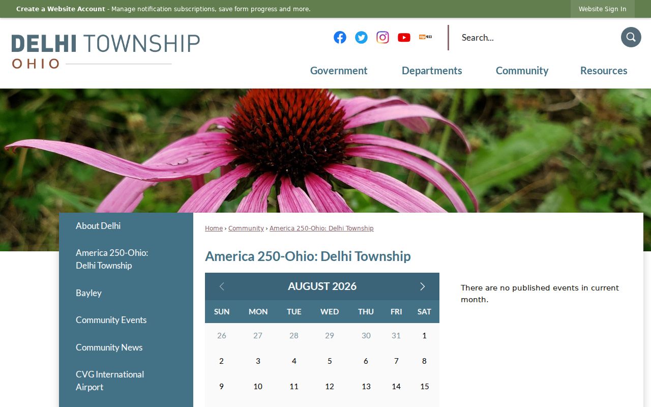
The 2026 page marks the township's 210th founding anniversary, Delhi Middle School's 100th anniversary, and the Historical Society's 50th anniversary. It supplies community history, not address verification.
The National Archives census research resource is also shown below.
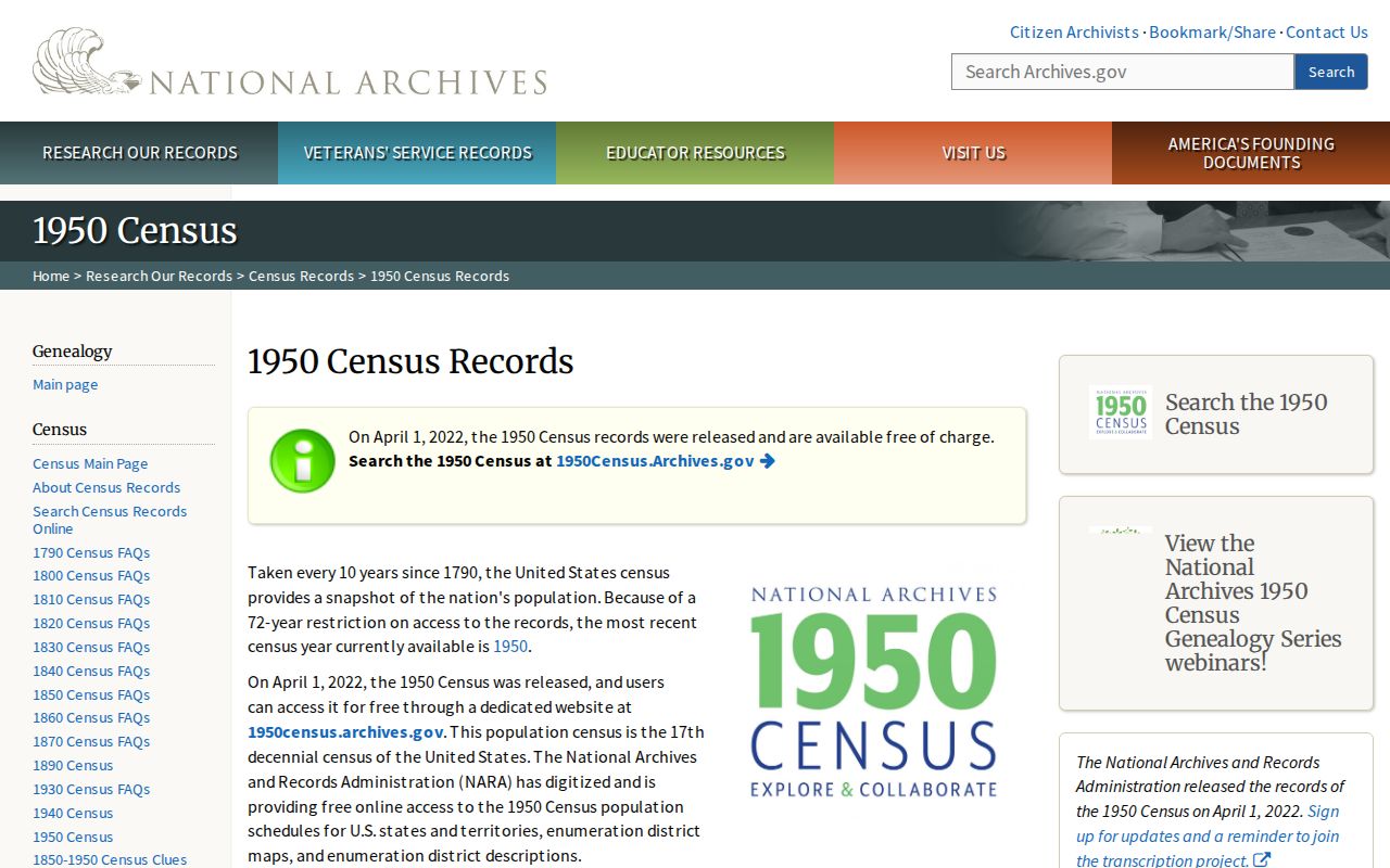
Public census schedules through 1950 can provide a dated household context. They should never be projected forward to identify who lives at a current address.